Sidia is a education Platform website.


Deskripsi Mata Kuliah
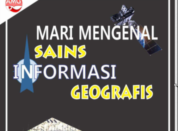
Mata Kuliah ini mengembangkan pengetahuan mahasiswa pada konsep dan teknologi SAIG. Kuliah menjelaskan tentang konsep-konsep dan teknologi yang diaplikasikan pada SAIG, konsep pemodelan, analisis spasial, statistik spasial, sistem informasi spasial, webgis, dan pengembangan perangkat deteksi lingkungan berbasis mikrokontroler, sensor, dan IoT. Mahasiswa yang telah mengambil mata kuliah ini diharapkan mampu mengembangkan konsep dan teknologi aplikatif dalam bidang SAIG. Model pembelajran menggunakan PBL dengan model penilaian project dan portofolio
CPMK
- mengembangkan konsep dasar SAIG (Able to develop basic concepts of GISc)
- pengolahan data spasial digital (Elaborating the concept of digital spatial data processing)
- mengembangkan basis data spasial (Able to develop spatial databases)
- Pengembangan Perangkat Sistem Informasi Spasial dan Web GIS (Development of Spatial Information System and Web GIS Tools)
Aktifitas Pembelajaran
-
Pertemuan 1 Konsep dasar SAIG (Able to develop basic concepts of GISc) -
Pertemuan 2 Mengenal teknologi dalam SAIG (Get to know the technology in GISc) -
Pertemuan 3 Pemodelan spasial (Able to develop spatial modeling) -
Pertemuan 4 Dan mengembangkan metode pengolahan spasial digital (Able to understand and develop digital spatial processing methods) -
Pertemuan 5 Dan mengaplikasikan konsep analisis spasial (Able to understand and apply the concept of spatial analysis) -
Pertemuan 6 Konsep analisis morfologis (Able to understand the concept of morphological analysis) -
Pertemuan 7 Metode statistik spasial (Able to understand spatial statistical methods) -
Pertemuan 8 UTS -
Pertemuan 9 Basis data spasial (Able to develop spatial databases) -
Pertemuan 10 Sistem informasi berbasis WebGIS (Able to develop WebGIS-based information systems) -
Pertemuan 11 Dasar Mikrokontroler dan Sensor untuk Perangkat Deteksi Lingkungan (Able to understand the Basic Microcontrollers and Sensors for Environmental Detection Devices) -
Pertemuan 12 Konsep Internet of Thinks (Internet of Thinks) -
Pertemuan 13 Pengembangan Perangkat Sistem Informasi Spasial dan Web GIS (Development of Spatial Information System and Web GIS Tools) -
Pertemuan 14 Pengembangan Perangkat Sistem Informasi Spasial dan Web GIS (Development of Spatial Information System and Web GIS Tools) -
Pertemuan 15 Pengembangan Perangkat Aplikatif Realtime berbasis IoT (Development of IoT-based Realtime Applicative Devices) -
Pertemuan 16 Basis data spasial (Able to develop spatial databases)
Pustaka
- Goodchild, M. F. (2009). Geographic information systems and science: today and tomorrow. Annals of GIS, 15(1), 3-9.
- Longley, P. A., & Cheshire, J. A. (2017). Geographical information systems. In The Routledge Handbook of Mapping and Cartography (pp. 251-258). Routledge.
- Lü, G., Batty, M., Strobl, J., Lin, H., Zhu, A. X., & Chen, M. (2019). Reflections and speculations on the progress in Geographic Information Systems (GIS): a geographic perspective. International journal of geographical information science, 33(2), 346-367.
- Burrough, P. A., McDonnell, R. A., & Lloyd, C. D. (2015). Principles of geographical information systems. Oxford University Press, USA.
- Gadekar, A. (2023). Design and Implementation of an Efficient Onboard Computer System for CanSat Atmosphere Monitoring. arXiv. https://doi.org/10.48550/arXiv.2308.03496
- Kamilaris, A., & Ostermann, F. O. (2018). Geospatial Analysis and the Internet of Things. ISPRS International Journal of Geo-Information, 7(7), 269. https://doi.org/10.3390/ijgi7070269
- Handbook Perkuliahan
- Sowmiya Narayanan, K.J., Manimaran, A. Recent developments in geographic information systems across different application domains: a review. Knowl Inf Syst 66, 1523–1547 (2024). https://doi.org/...
- Budiyanto, Eko, et al. 2021. Pengembangan prototipe sistem monitoring kualitas air tanah karst. Vol. 19 No. 2 Tahun 2021 | 95 – 103. Geomedia
Dosen
Difficult Things About Education.
$75$10
More Similar Courses
Related Courses
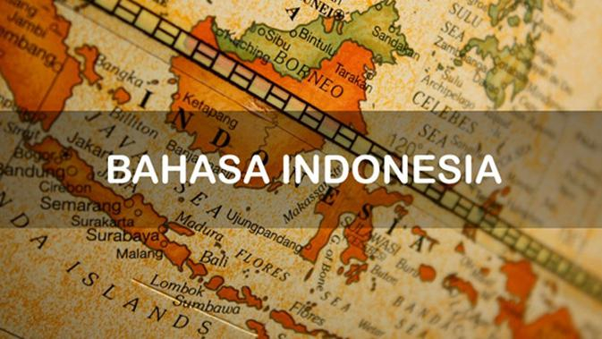
Bahasa Indonesia
Mata kuliah Bahasa Indonesia bertujuan untuk meningkatkan kemampuan mahasiswa dalam berbahasa Indonesia secara lisan dan tulis, sesuai dengan aturan kebahasaan dan konteks; meningkatkan keterampilan akademis
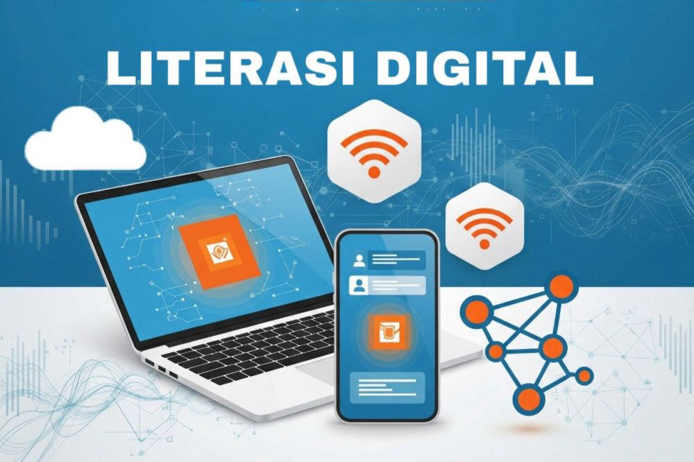
LITERASI DIGITAL
Mata kuliah Literasi Digital merupakan mata kuliah wajib umum (MKWU) bagi seluruh mahasiswa Universitas Negeri Surabaya yang disajikan pada tahun pertama perkuliahan. Matakuliah ini membekali

Governansi dan Pembangunan
Mata kuliah ini membahas tentang perkembangan konsep governansi dan manajemen pembangunan, berbagai teori dasar governasi, struktur dan organisasi governansi, stakeholder dalam pembangunan, serta teori dasar

Copyright © 2026 Sinau Digital UNESA All Rights Reserved